Fishing
Home Charter Boat Fishing Bait & Tackle Shops Seafood Storage
& Preparation Crabs & Crabbing Sharks Maps CONTACT US
Home Charter Boat Fishing Bait & Tackle Shops Seafood Storage
& Preparation Crabs & Crabbing Sharks Maps CONTACT US
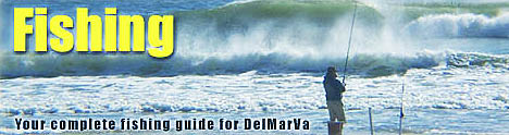
Delaware, Maryland Fishing Center
Salt water and freshwater fishing, charter boat fishing information for the coastal areas.
Click here to visit a new website from the University or Delaware College of Marine Studies
If you would like your business listed on Beach-net Contact us here!
Delaware Web Design & Internet Advertising - Coastal Images Inc.
Home | The Ocean | The Bay | Things To Do at the Beach | Restaurants & Dining | Hotels - Motels & Lodging Shopping | Beach Directions |
Our Towns | Beach Real Estate & Vacation Rentals | What’s New
What's Here | Beach Weather | Our Advertisers | Beach Maps